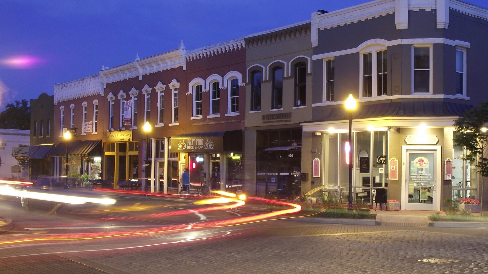
Historic downtown Bentonville streets at night

Outdoors

Biking and mountain biking near Bentonville

Trails and recreation areas near Bentonville open to biking and mountain biking.

Good to know: Wilderness areas are closed to bikes; check each area’s trail rules and yield to hikers and horses.

Within 30 miles (4)

13 mi northeast · National Park Service

Pea Ridge National Military Park

On March 7-8, 1862, over 23,000 soldiers fought here to decide the fate of Missouri which was a turning point of the war in the Trans-Mississippi. This 4,400-acre battlefield honors those who fought and died on these hallowed grounds.

  • Biking
  • Hiking
  • History
  • Horseback riding
  • Wildlife viewing

20 mi southwest · USDA Forest Service · Campground

Lake Wedington

Lake Wedington beckons visitors of many types, those who come to relax and fish all day, those who come to speed along on bike paths or cruise on a boat, and those who want to stay in a cabin as a lakeside home-away-from-home.

  • Accessible Swimming
  • Backpacking
  • Biking
  • Birding
  • Boating
  • Camping
  • Canoeing
  • Fishing

21 mi east · US Army Corps of Engineers · Campground

Dam Site Lake Campground

Dam Site Lake Campground sits along the vast shores of Beaver Lake in the Ozark Mountains of Northwest Arkansas, offering spacious and sunny campsites and an abundance of recreational activities.

  • Biking
  • Camping
  • Fishing
  • Hunting
  • Swimming

30 mi northeast · US Army Corps of Engineers · Campground

Eagle Rock

Eagle Rock is a spacious and grassy campground located on the White River Arm of Table Rock Lake in the Missouri countryside. Eagle Rock is conveniently located right off Highway 86, 3 miles south of Eagle Rock, MO.

  • Biking
  • Boating
  • Camping
  • Diving
  • Fishing
  • Hiking
  • Kayaking
  • Photography

30 to 75 miles (5)

34 mi northeast · US Army Corps of Engineers · Campground

Big M

Big M is a spacious and grassy campground that sits along the White River Arm of Table Rock Lake in the Missouri countryside.

  • Biking
  • Boating
  • Camping
  • Fishing
  • Hiking
  • Kayaking
  • Photography
  • Picnicking

38 mi east · US Army Corps of Engineers · Campground

Viola

Viola sits along the Kings River Arm of Table Rock Lake in the Missouri countryside. Boaters and water sports enthusiasts are particularly drawn to Viola for its easy access to the clear blue waters of Table Rock Lake.

  • Biking
  • Boating
  • Camping
  • Fishing
  • Hiking
  • Kayaking
  • Picnicking
  • Swimming

65 mi southwest · US Army Corps of Engineers

Fort Gibson Lake

Fort Gibson Lake is located on the Grand (Neosho) River about 5 miles northwest of historic Fort Gibson, Oklahoma, from which it draws its name. It is about 7.7 miles above the confluence of the Grand (Neosho) and Arkansas Rivers.

  • Biking
  • Boating
  • Camping
  • Fishing
  • Hiking
  • Horseback riding
  • Hotel/Lodge/Resort Privately Owned
  • Nature education

69 mi south · US Army Corps of Engineers

John Paul Hammerschmidt Lake

John Paul Hammerschmidt Lake extends 26 miles along the Arkansas River, about half in Arkansas and half in Oklahoma.

  • Biking
  • Boating
  • Camping
  • Picnicking
  • Water sports
  • Wildlife viewing

75 mi southwest · Fish and Wildlife Service

Sequoyah National Wildlife Refuge

Sequoyah National Wildlife Refuge was established in 1970 as an overlay project of the U.S. Army Corps of Engineers’ Robert S. Kerr Reservoir.

  • Biking
  • Birding
  • Boating
  • Fishing
  • Hiking
  • Hunting
  • Motor Boat
  • Non-Motorized Boating

75 miles and farther (3)

92 mi east · US Army Corps of Engineers

Bull Shoals Lake

Bull Shoals Lake, located in the beautiful Ozark Mountains, is popular year-round as each season unfolds a new panorama. Summer contrasts lush green hardwoods and cedar glades against towering rocky bluffs and unusual rock formations.

  • Biking
  • Boating
  • Camping
  • Hiking
  • Hotel/Lodge/Resort Privately Owned
  • Nature education
  • Picnicking
  • Water sports

93 mi southeast · US Army Corps of Engineers

Dardanelle Lake

Located near the Ozark and Ouachita National Forests, the picturesque shoreline, excellent fishing and abundant wildlife provide ideal conditions for nature enthusiasts and camera bugs.

  • Biking
  • Boating
  • Camping
  • Fishing
  • Hotel/Lodge/Resort Privately Owned
  • Nature education
  • Picnicking
  • Water sports

96 mi southeast · USDA Forest Service

Ozark-St. Francis National Forests

  • Biking
  • Boating
  • Camping
  • Fire Lookouts/Cabins Overnight
  • Fishing
  • Hiking
  • Horse Camping
  • Horseback riding

Distances are straight-line miles from downtown Bentonville. Listings come from Recreation.gov’s federal recreation database; check each official page for hours, fees, fire restrictions and closures before you go.

More outdoors near Bentonville

Questions

Where is the closest place for biking near Bentonville?

Pea Ridge National Military Park (National Park Service), about 13 miles northeast of Bentonville as the crow flies. Next are Lake Wedington (20 mi) and Dam Site Lake Campground (21 mi).

When is the best time for biking near Bentonville?

Based on Bentonville’s average highs, September–June. Conditions at higher elevations can be much cooler.

Who manages these places?

Federal agencies including US Army Corps of Engineers, USDA Forest Service, National Park Service. Each listing links to its official page for hours, fees, closures and current conditions.

Bentonville AI

Your Bentonville local guide
Hey there!

I'm Bentonville AI. Ask about neighborhood food, independent shops, local history or planning a visit.

AI recommendations may be inaccurate. Verify hours and prices. Questions are processed by Cloudflare. Privacy